Principal Investigators
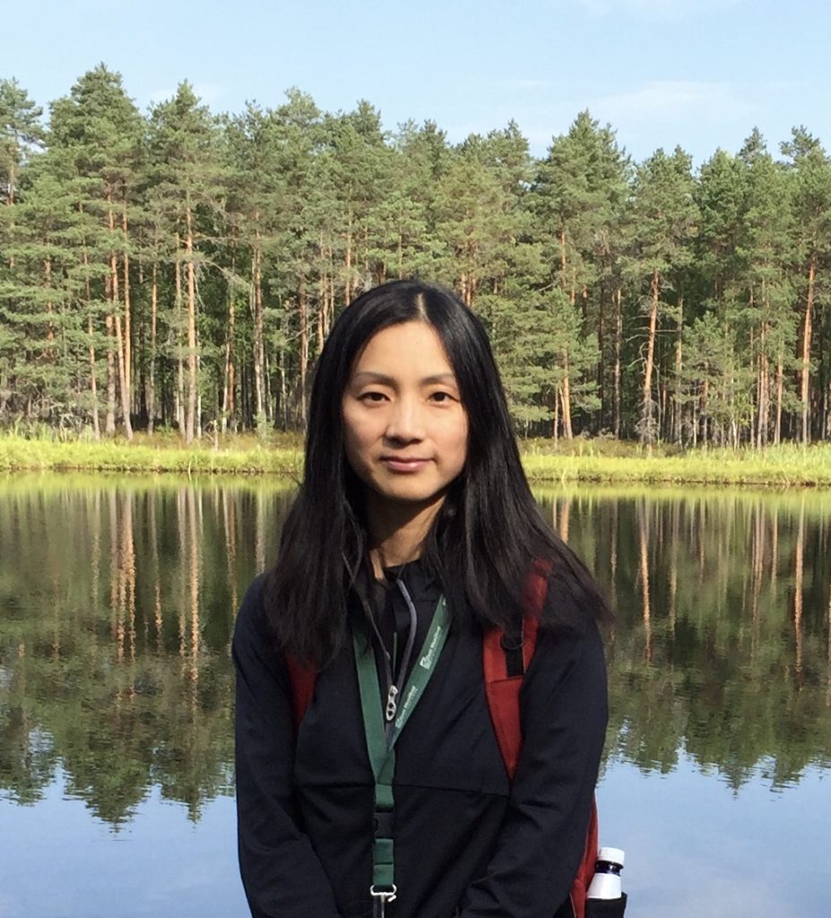
Peilei Fan, Principal Investigator
Michigan State University, United States
Dr. Peilei Fan is a professor of Urban and Regional Planning at School of Planning, Design, and Construction, Michigan State University (MSU). She also holds a joint research appointment at Center for Global Change and Earth Observations and is an adjunct faculty member of the Geography Department at MSU. She has a Ph.D. in Economic Development and a MS in Electrical Engineering and Computer Science, both from MIT. Dr. Fan has served as a consultant/economist for United Nations University –World Institute of Development Economics Research (UNU-WIDER) and the Asian Development Bank. Dr. Fan’s research focuses on urban environment and sustainability, public health, innovation and economic development, and planning and policy. Her research projects have been funded by National Aeronautics and Space Administration (NASA) and National Science Foundation (NSF) (3 as PI and 2 as Co-PI), such as the current SEAGUL project and SENA project . She is the Secretary General of International Association of Landscape Ecology (2019-2024) and the Deputy Director of 8.01.02 Landscape Ecology Working Party of International Union of Forest Research Organization (IUFRO).
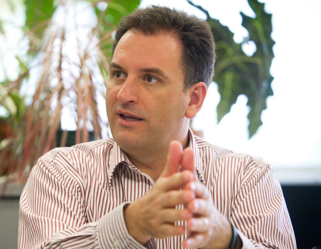
Joseph P Messina, Co-Principal Investigator
University of Alabama – United States
Professor Joe Messina is Dean of the College of Arts and Sciences at the University of Alabama in 2019. An environmental geographer, he has worked around the world from the Amazon jungle to the Savannahs of East Africa and across the Mekong exploring the links among agriculture, climate, and disease.
Postdoctoral Research Associates

Cadi Fung, Postdoctoral Researcher
University of Alabama, United States
Dr. Cadi Fung is a Postdoctoral Researcher at the University of Alabama. She received her PhD in Geography from Michigan State University, where she studied the influence of artisanal fishing and wildlife tourism on human-wildlife interactions and conflict with the Amazon river dolphin (Inia geoffrensis) in the Central Brazilian Amazon. Her work employs multi-methodologies, including qualitative and spatial data collection and analysis, in order to understand sociocultural and spatiotemporal dimensions of human-environment interactions. Broadly, her research interests are in animal geography, human-wildlife conflict, and social dimensions of environmental change and conservation.
Brad G. Peter, Postdoctoral Researcher
University of Alabama, United States
Dr. Brad Peter is a Postdoctoral Researcher in the Department of Geography at The University of Alabama. His research interests are broadly in linking remote sensing of agriculture, environmental niche modeling, and geovisualization to transform empirical data into scientific knowledge. Dr. Peter leverages global satellite and sUAS (small unmanned aerial systems) imagery to monitor crop productivity and conduct precision agriculture across spatial and temporal scales and builds geocommunication software to facilitate interdisciplinary collaboration and share his research with key stakeholders. Much of his research centers on Malawi, Sub-Saharan Africa, and Southeast Asia; however, the methodologies devised have been adapted into generalizable, multi-scalar models that provide support across geographies and crops. His maps and research can be viewed online at https://cartoscience.com. Some of his recent work on Southeast Asia can be found here. His work on the changes in agricultural land as a percentage of the total land area in countries of Southeast Asia from 1961 to 2016 can be found here
Graduate Assistants
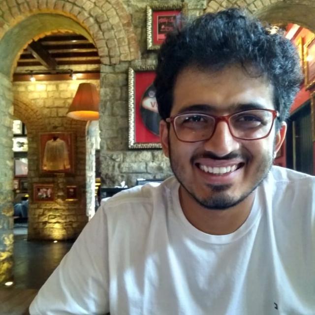
Abhinav Kapoor, Graduate Assistant
Michigan State University, United States
Abhinav is pursuing PhD at the School of Planning, Design and Construction with concentration in Urban and Regional Planning at Michigan State University. He is interested in studying the socio-economic and demographic impact of urbanization within the rural-urban interface in South Asian cities. His research interests include how the urbanization process within peri-urban zones affect the ecology in these areas and how the population here negotiates with the changing environment. He has received a Bachelor’s and Master’s degrees in Economics, and an MPhil degree in Development Studies from Tata Institute of Social Sciences, Mumbai, India. Prior to coming to MSU he was working as a Senior Economist at the Foundation for Agrarian Studies located in Bengaluru, India. Here his work was focused around collecting and analyzing village data to understand the contemporary rural Indian economy.

Tanni Sarker, Graduate Assistant
Michigan State University, United States
Tanni is a Ph.D. student at the School of Planning, Design, and Construction with concentration in Urban and Regional Planning. Her research interests include integrating remote sensing, GIS, and spatial statistics for urban planning and sustainability.
Collaborators
International Collaborators
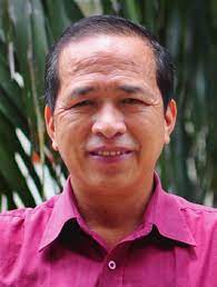
Duong Dinh Nguyen
Vietnam Academy of Science and Technology, Vietnam
Dr. Duong Dinh Nguyen graduated from the Academy of military technology VAAZ, Brno, Czech in 1979 and received his Doctor of Engineering degree from the Academy of military technology VAAZ, Brno, Czech in 1983. He has done research in remote sensing since 1984 in Institute of Geography, Vietnam Academy of Science and Technology with main interests in algorithm development, land cover mapping, forest mapping, integration of GIS and remote sensing. He is a member of the Vietnam Space Committee, the Deputy General Secretary of AARS, and the editor in chief of Asian Journal of Geoinformatics. He is also the regional representative of the ISPRS for the Southeast Asia.
Tep Makathy
Cambodian Institute for Urban Studies (CIUS)
Dr. Tep Makathy, is the Founder of CIUS, and has a Ph.D. degree in Urban Engineering, from the Graduate School of Urban Engineering at the University of Tokyo in 2008. He has worked on World Bank financed-infrastructure projects in Cambodia and Lao PDR as the Environmental Safeguard Specialist, and was officially accredited by the World Bank Group in 2015. He has also been involved in developing important urban related policies for Cambodia and GMS countries financed by the Asian Development Bank (ADB) including; the Cambodia Urban Sector Assessment Strategy and Roadmap (ASR) as part of Country Partnership Strategy (CPS), and support to the Government to develop the Framework for National Urban Development Strategy (NUDSF) and is currently involved with developing the Framework for Urban Resilience in Selected Cities in Southeast Asia (Laos, Cambodia and the Philippines). Dr. Makathy is also Associate Dean of Faculty of Architecture and Design of Pannasastra University of Cambodia in-charge of Urban Planning, Design and International Affairs.
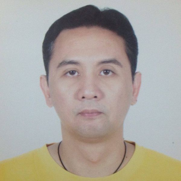
Ronald Macatangay
National Astronomical Research Institute of Thailand
Dr. R Macatangay is with the National Astronomical Research Institute of Thailand. His research interests include Chemistry-Climate Modeling, Solar/Stellar Absorption/Emission Spectroscopy, Greenhouse Gas and Aerosol Measurements, and Thunderstorm Modeling and Lightning Detection.
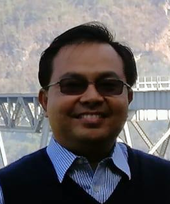
Zaw Naing
Mandalay Technology, Myanmar
Dr. Zaw Naing is the founder and CEO of Mandalay Technology and also an active leader in a number of industry associations in Myanmar. He is vice chair of the infrastructure working group in the Myanmar Business Forum, established between the government of Myanmar and the Union of Myanmar Federation of Chambers of Commerce and Industry (UMFCCI) with support from the International Finance Corporation. He is a member of the Myanmar Engineering Society, the Myanmar Oil and Gas Services Society, the Myanmar Computer Professionals Association and the Myanmar Business Executives Association, of which he is a founding member. Zaw Naing works for economic development while advocating for sustainability, inclusivity and resilience. He serves as the coordinating board member of the Green Economy Green Growth Association (Myanmar), which hosts the ASEAN Institute for Green Economy. Zaw Naing believes that education is the foundation for the future. He founded and serves as the general secretary of the Zanaka Education Foundation and is an advisory board member of the Center for Vocational Training.

Mylene Cayetano
University of Philippines
Dr. Mylene Cayetano is an associate professor at the Institute of Environmental Science and Meterology, University of the Philippines. Her research interests include the study of air, water and soil contaminants and transport, environment toxicology, air and water quality management, sustainable transport, study of aquatic systems and rehabilitation, climate change and co-benefits, cook stoves and indoor air pollution, and clean air in large and small cities.
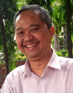
Edwin Aldrian
The Intergovernmental Panel on Climate Change, Indonesia
Prof. Edvin Aldrian is a Professor of Meteorology and Climatology at the Agency for Assessment and Application of Technology BPPT Indonesia. He teaches at the University of Indonesia and Bogor Agricultural Institute and Udayana University in Denpasar Bali. Currently Prof. Aldrian serves as IPCC WG1 Vice Chair representing Indonesia and countries in the Southwest Pacific region. Prof. Aldrian obtained his PhD in 2003 from Max Planck Institute for Meteorology Germany. Prof. Aldrian also served WMO as the Co Chair of Commission for Climatology for Expert Team on Institution and Infrastructure Capabilities group and WMO Co Vice Chair Regional Association V Working Group on Climate Services. Furthermore, he also served previously as EANET Scientific Advisory Committee. Prof. Aldrian has already published 32 peer reviewed International scientific publications, 46 National peer reviewed publications and 26 books or book chapters. He works mainly on global and regional climate issue including climate changes and actively becomes speakers for Climate Change sciences. Prof. Aldrian is active in promoting climate change science nationally and internationally as part of IPCC Outreach programme in South Asia and Southeast Asia.
US Collaborators
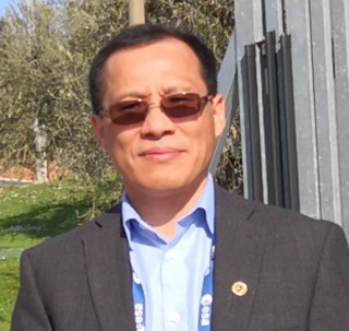
Chengquan Huang
Department of Geographical Sciences, University of Maryland, USA
Dr. Chengquan Huang has devoted a decade in studies of land cover and vegetation dynamics using remotely sensed data. He has been engaged in several projects that were national to continental in scale, including the USGS Multi-Resolution Land Characteristics (MRLC) 2001 project, the joint USGS-US Forest Service LANDFIRE project, the NASA LEDAPS project, and the NASA North American Forest Dynamics project. Currently he is leading efforts to quantify forest change at national to global scales using Landsat data, and is developing approaches for mapping forest structure and biomass change by integrating field inventory data, airborne or space borne lidar, and Landsat derived forest disturbance history.
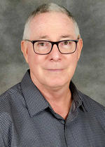
Jefferson Fox
East-West Center, Honolulu, HI USA
Dr. Jefferson Fox is the Acting Director of the Research Program at the East-West Center. He conducts research on land-use and land-cover change in Asia and the impact of these changes on the region and the global environment. Other areas of study include resource-management systems and land-cover transitions in Montane Mainland Southeast Asia—their role in altering regional hydrological processes under a changing climate; the ethics, values, and practice of spatial information technology and society; and natural resources and violent ethnic conflict in the Asia Pacific region. He has worked with watershed management projects in Nepal, and lectured in the Geography Department at Gadjah Mada University, Yogyakarta, Indonesia. He is an affiliate graduate faculty member in geography and anthropology at the University of Hawai‘i. He holds a Ph.D. in development studies from the University of Wisconsin-Madison and speaks Nepali and Bahasa Indonesia.
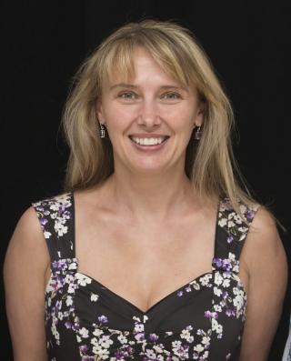
Titiana Loboda
Department of Geographical Sciences, University of Maryland, USA
Dr. Tatiana Loboda is a Professor in the Department of Geographical Sciences at the University of Maryland, College Park. She received her B.A. degree in 1995 from the Moscow Pedagogical State University (Moscow, Russia), and her M.A. (2004) and Ph.D. (2008) degrees from the University of Maryland, College Park. Tatiana’s research interests include wildland fire, biodiversity, climate change, public health and their interactions with other human and physical factors on the landscape. Her work incorporates satellite observations of land surface conditions and change to study a variety of science questions ranging from impacts of wildfire on ecosystems and climate to assessing the impacts of conservation policies on poor rural communities to forecasting malaria outbreaks in the tropics. Dr. Loboda has been an investigator on numerous NASA projects funded by the Terrestrial Ecology (TE), Interdisciplinary Science (IDS), and Land Cover and Land Use (LCLUC) programs. In 2015 she became a Principal Investigator (PI) for the NASA Arctic-Boreal Vulnerability Experiment (ABoVE) – a major field campaign aimed at developing a better understanding of the vulnerability and resilience of High Northern Latitude ecosystems and society to a rapidly changing environment. In parallel, since 2014 she has focused on bridging disciplinary gaps with medical researchers to bring cutting edge remote sensing capabilities into monitoring and forecasting malaria outbreaks in South-East Asia. In 2017 she received a prestigious International Centers of Excellence for Malaria Research (ICEMR) NIH grant as part of a multi-institutional interdisciplinary team of researchers to establish a regional Center of Excellence in Myanmar where she will support the global malaria elimination agenda and build regional capacity in satellite monitoring and remote sensing applications.

Son V Nghiem
Jet Propulsion Laboratory California Institute of TechnologyPasadena,California,USA
Dr. Son V. Nghiem received the B.S. degree in electrical engineering from Texas A&M University, College Station, TX, USA, in 1985, and the S.M. and Ph.D. degrees in electrical engineering and computer science from the Massachusetts Institute of Technology, Cambridge, MA, USA, in 1988 and 1991, respectively. In 1991, he joined the Jet Propulsion Laboratory (JPL), California Institute of Technology, where he is currently a Senior Research Scientist, the Science and Applications Development Lead of the Radar Science and Engineering Section, and the JPL Hydrology Discipline Program Manager of the Hydrology Office in the Earth Science and Technology Directorate. His research encompasses active and passive remote sensing, development of advanced satellite radars and radiometers, electromagnetic scattering and emission modeling, and earth sciences and applications from the tropics to polar regions. He holds a patent for his invention on high-resolution wind measurements with satellite data for offshore wind energy development. He has authored 110 peer-reviewed articles and over 380 conference articles.,Dr. Nghiem received the 1999 Lew Allen Award for Excellence in recognition of his pioneering research in the areas of polarimetric scatterometry for Earth science remote sensing and contributions to future advanced satellite instrument concepts, the 2006 NASA Exceptional Achievement Medal for developing scientific applications of scatterometry in land, ice, and snow processes, the 2008 NASA Exceptional Scientific Achievement Medal for his contributions to understanding the melt state of Greenland and Antarctica ice sheets, its significance in Earth science missions, and its implications in climate change, the 2010 NASA Exceptional Technology Achievement Medal for his contributions in developing a new technology using NASA satellite scatterometer data to measure high-resolution global wind for off-shore wind energy development, and the 2013 Edward Stones Award for outstanding research publication on the extreme melt across the Greenland ice sheet in 2012. He was invited to present science results on Arctic change and impacts to the Office of Science and Technology Policy in the White House in 2012. His research results have been reported worldwide by major news networks.
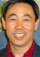
Jiaguo Qi
Michigan State University, USA
Dr. Jiaguo Qi is the Director of the Center for Global Change & Earth Observations and also professor in the Department of Geography. He has years of experience in several technical areas critical to global change science, including remote sensing and geospatial technologies; environmental monitoring, assessment and modeling; land use and land cover change dynamics, and decision support system. Dr. Qi led several large-scale research efforts to quantify impacts of climate change on ecosystem services and functions, including grasslands carbon sequestration and greenhouse gas emissions as well as agricultural systems. Integrating climate, ecosystems and social systems, Dr. Qi now is focusing on the nexus of water, energy and food systems. Geographically his research focuses on societal relevant issues in developing countries in Africa, Central Asia and Southeast Asia.

Stephen J. Walsh
Carolina Population Center, The University of North Carolina at Chapel Hill, USA
Dr. Stephen J. Walsh works on examining population-environment interactions within the context of coupled human-natural systems in the Northern Ecuadorian Amazon, and in the Galapagos Islands of Ecuador. His population research explores questions about social and ecological vulnerability, resilience, and sustainability in diverse settings. Through his collaborations with CPC Fellows Bilsborrow, Entwisle, and Rindfuss; and several doctoral trainees, Walsh has described various challenges to mapping, measuring, and modeling population-environment interactions, including linking population and environment; examining social-ecological patterns and dynamics; characterizing agricultural frontiers and island settings, land use dynamics, and human-environment interactions and the drivers of change; and modeling coupled human-natural systems, pattern-process relationships, and population-environment interactions in multiple settings and contexts. Of particular interest to Walsh are new developments in complexity theory and Agent-Based Models (a type of micro-simulation), Dynamic Systems Models, and Integrated Assessment Models that make it possible to specify and explore feedbacks in population-environment relationships through process understanding.